ggplot2 Quick Reference: coord
The coordinate system of a plot, together with the x and y position scale, determines the location of geoms.
- coord_cartesian - (default) cartesian coordinate system (x horizontal from left to right, y vertical from bottom to top)
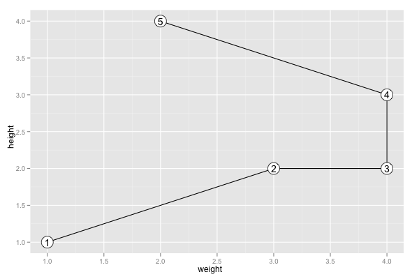
- coord_flip - flipped cartesian coordinate system (x vertical from bottom to top, y horizontal from left to right)
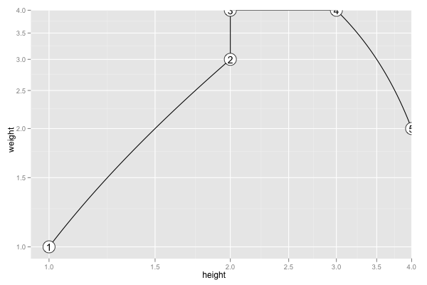
- coord_trans
- coord_equal
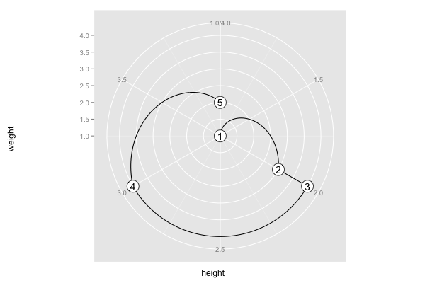
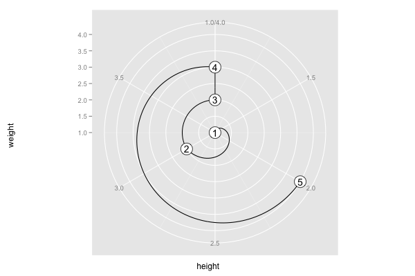
- coord_polar - polar coordinate system; the x (or y) scale is mapped to the angle (theta)
- coord_map - various map projections
Example
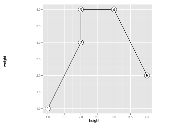
Assume the following data frame:
d=data.frame(height=c(1,2,2,3,4), weight=c(1,3,4,4,2))
And assume the following plot:
p = ggplot() +
geom_line(data=d, mapping=aes(x=height, y=weight)) +
geom_point(data=d, mapping=aes(x=height, y=weight), size=8, fill="white", shape=21) +
geom_text(data=d,mapping=aes(x=height, y=weight, label=seq(1,nrow(d))))
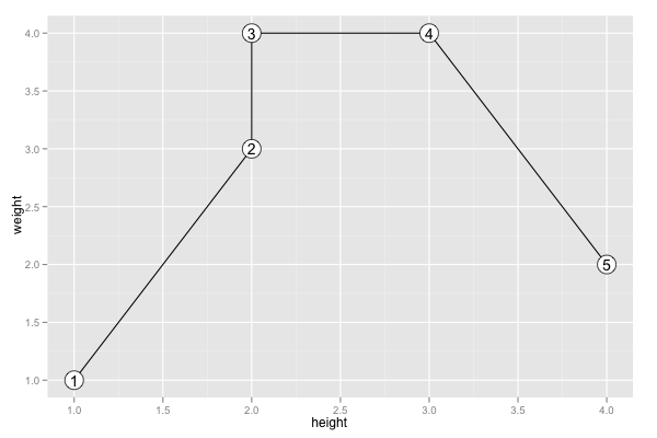
coord_cartesian
p + coord_cartesian()
coord_flip
p + coord_flip()
coord_trans
p + coord_trans(xtrans="log10", ytrans="log10")
coord_equal
p + coord_equal()
coord_polar
p + coord_polar(theta="x")
p + coord_polar(theta="y")
Example with coord_map
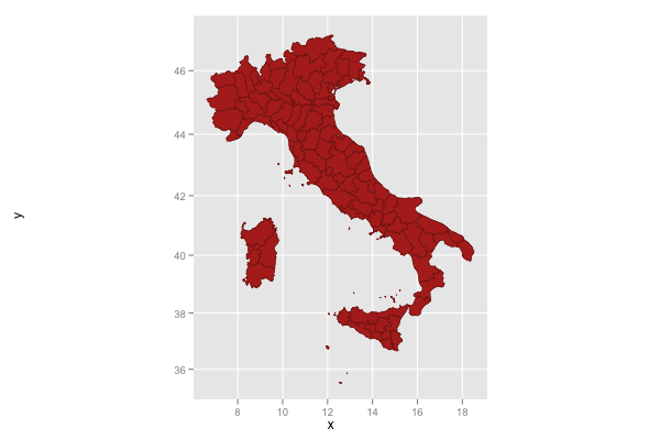
Load the "maps" package and create a data frame containing the latitudes and longitudes of the map of Italy.
require(maps)
d = data.frame(map(database="italy", plot=F)[c("x", "y")])
Create a plot using coord_map with its default (mercator) projection:
ggplot() +
coord_map() +
geom_polygon(data=d, mapping=aes(x=x, y=y), fill=hsv(0, 1, 0.7), color=hsv(0, 1, 0.5), size=0.2)
